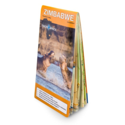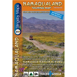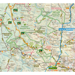







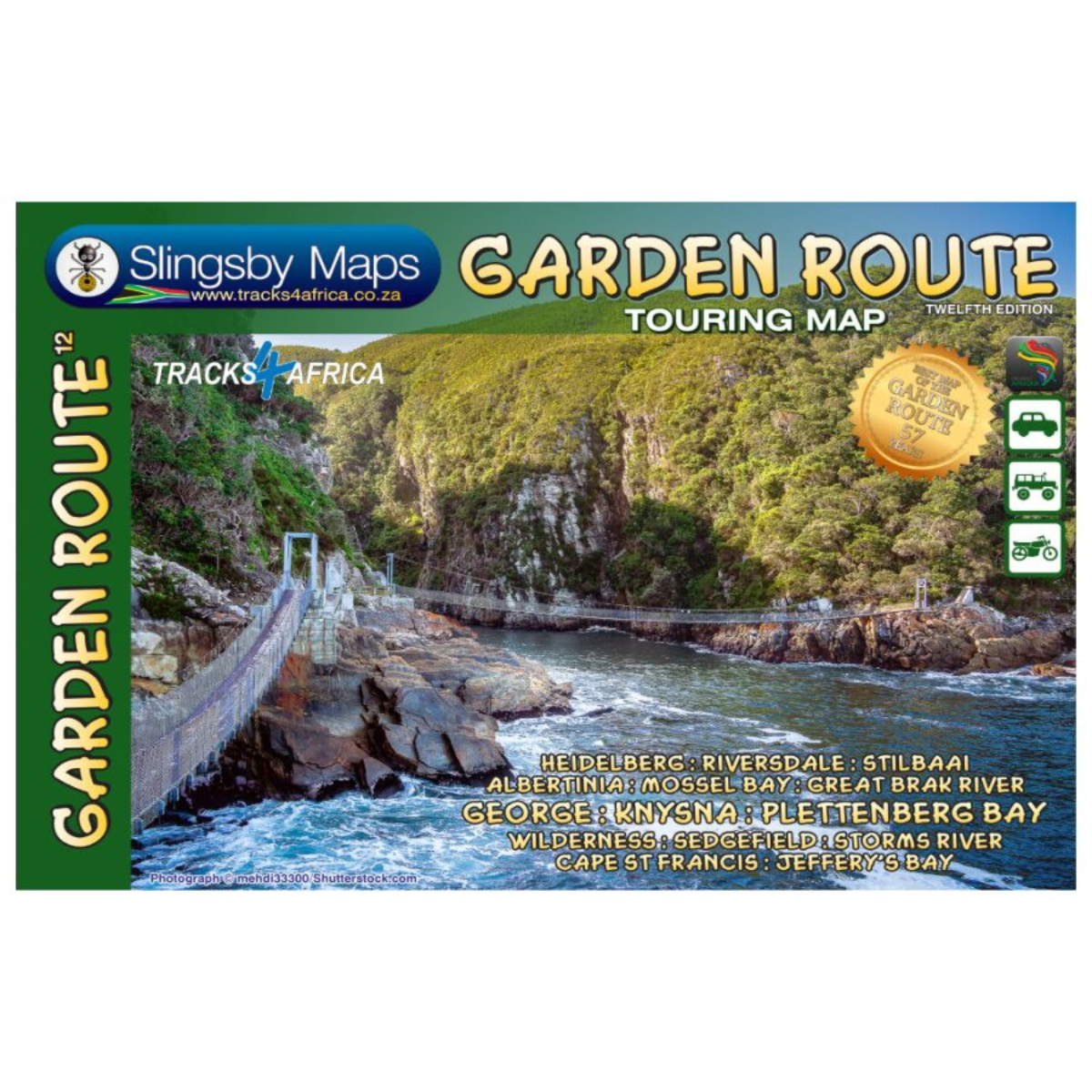
Slingsby Garden Route Map – 12th Edition
R299.00
Paper Map

From over 12 months or 3 interest free payments.
Learn more...


Your flexible payment provider.
Example payment for
0% interest, zero fees.
28.25% interest, plus fees.
Total Payment
How does PayJustNow work?
-
 Shop and choose PayJustNow at checkout.
-
 Sign up and get instant approval.
-
 Pay in 3 or 12.
You can complete sign-up in under 2 minutes - no need to leave your cart!

Description
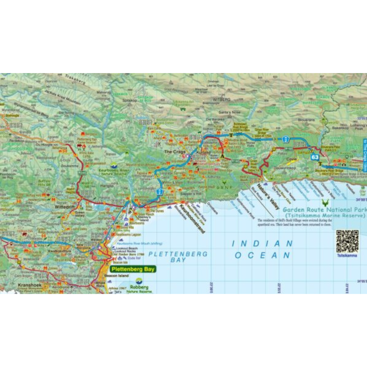
The Slingsby Garden Route Map – 12th Edition is a detailed, fully updated map covering the Garden Route from Heidelberg and Witsand in the west through Mossel Bay, George, Knysna and Plettenberg Bay to Jeffreys Bay and the Gamtoos River Mouth. With comprehensive road information, GPS coordinates, attractions and accommodation, it is ideal for exploring both the well-known routes and the lesser-travelled roads of the region.
Features:
- Covers the Garden Route from Heidelberg and Witsand to Jeffreys Bay and the Gamtoos River Mouth
- Includes the Tsitsikamma and Outeniqua Mountains and the Langkloof
- Shows national highways, minor dirt roads, tracks and footpaths
- Distances clearly marked on roads
- GPS coordinates in DD MM SS format at road junctions
- Highlights more than 30 attractions
- Includes farm stalls, abseiling, horse riding and golf courses
- Shows game viewing areas, botanical gardens and historical sites
- Includes accommodation options, particularly those outside towns
- Relief-shaded map
- Fully updated tourism information
- Waterproof and tear-resistant
Specifications:
Format: Double-Sided Paper Map
Coverage: Witsand and Heidelberg to Jeffreys Bay and Gamtoos River Mouth
Map Type: Relief-Shaded Touring Map