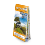
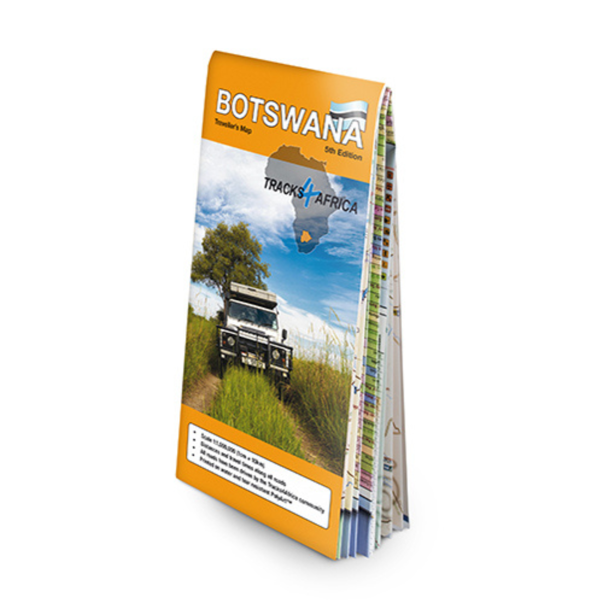
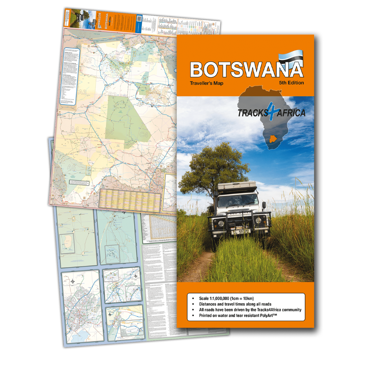
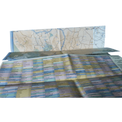
Tracks 4 Africa Botswana Traveller’s Paper Map 5th Edition
R395.00
Paper map offering travel time information for the entire road network, be it on tar, gravel or sand!
 Pay over 3 EQUAL zero-interest instalments of R131.67 with PayJustNow.
Find out how...
HOW IT WORKS
PayJustNow allows you to pay for your purchase over 3 payments with 0% interest and no fees. Pay a third at checkout and receive your goods immediately. The remaining two instalments are debited on your selected instalment dates.

Browse online or in-store and proceed to checkout

Choose PayJustNow as your payment method

Create your account and receive an instant approval decision

Complete your transaction
WHAT YOU WILL NEED

Be over 18 years old

Be a South African resident

Have a debit or credit card

Have a valid email address
0% INTEREST. 3 PAYMENTS. NO STRESS.
WHY PAY ANY OTHER WAY?

