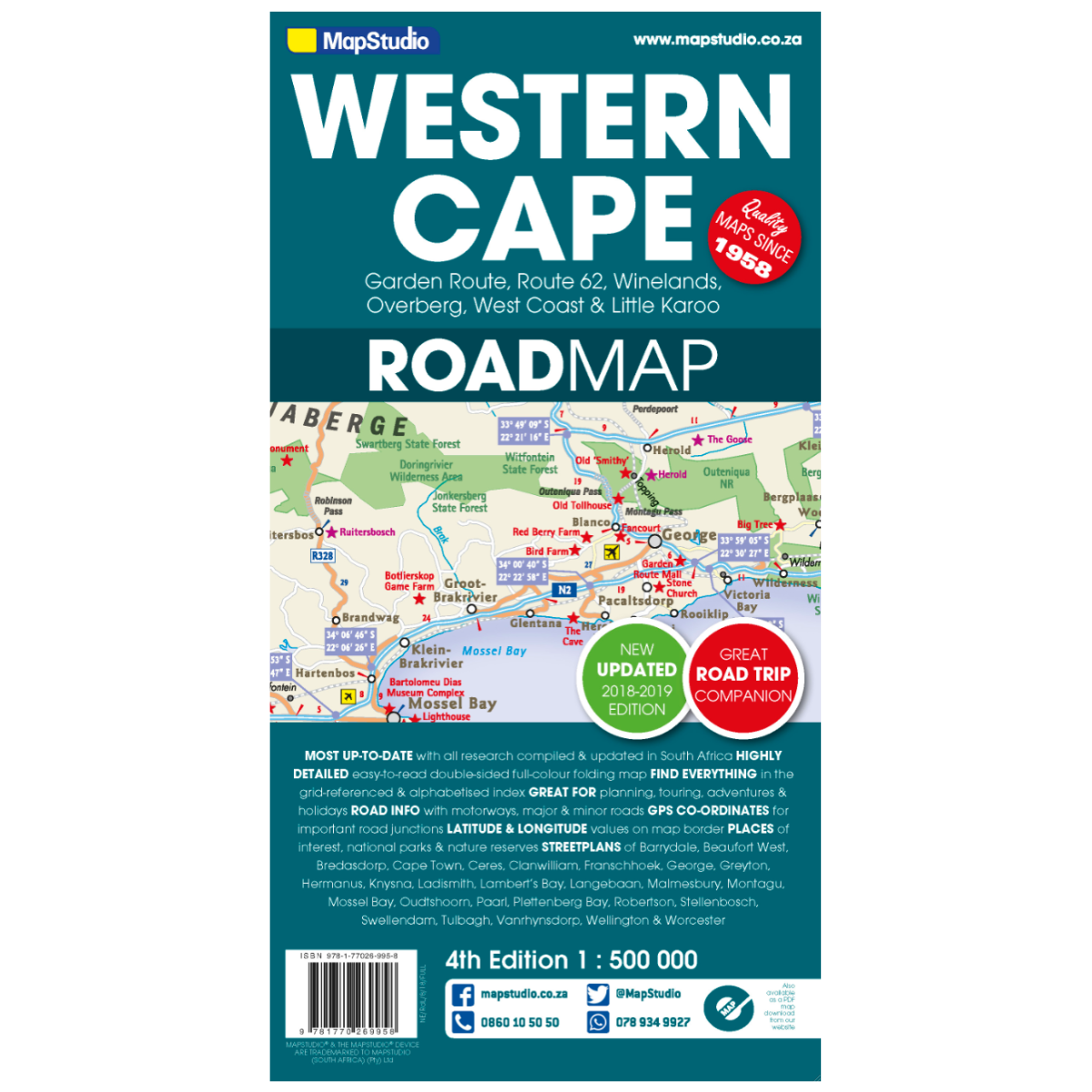
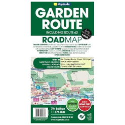
Map Studio Western Cape 4th Edition
Low Stock
Paper map
SKU: 9781770269958
Categories: Literature, Maps
Description
Explore the Western Cape Province with this detailed road map, featuring essential information for travelers, adventurers, and wine enthusiasts.
Features:
- Enlargement of the Cape Peninsula for more detailed navigation
- 27 street plans of central areas in main towns
- Numerous places of interest, including vineyards, historical sites, nature reserves, and bird watching sites
- Double-sided map dividing the province east/west
- Road and rail networks with stations, including unsurfaced minor roads and selected 4WD tracks
- Mountain passes marked along roads and occasional spot heights
- Nature reserves and other protected areas prominently marked
- Distance table for convenient travel planning
- GPS coordinates provided for over 150 road junctions and marked on important road junctions
- Latitude and longitude margin ticks at intervals of 1 degree
Specifications:
Coverage includes: Garden Route & Route 62, South Western Cape, Winelands and Overberg, West Coast Flower Region, and Little Karoo
Small detailed street plans: Cape Town CBD, Montagu, Barrydale, Ladismith, Oudtshoorn, Mossel Bay, Knysna, Plettenberg Bay, Humansdorp, George, Stellenbosch, Franschhoek, Paarl, Wellington, Hermanus, Swellendam, Robertson, Ceres, Tulbagh, Langebaan, and Beaufort West
Detailed road map at a scale of 1:500,000

