-
×
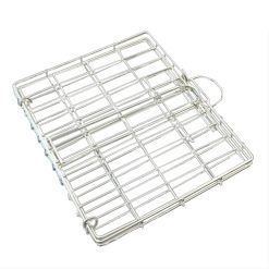 Braai Grid 340x315x20mm Stainless Steel
1 × R249.00
Braai Grid 340x315x20mm Stainless Steel
1 × R249.00 -
×
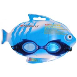 Aqualine Crazy Creatures Swim Goggles Blue
1 × R99.00
Aqualine Crazy Creatures Swim Goggles Blue
1 × R99.00 -
×
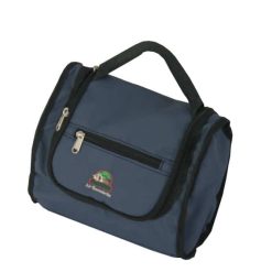 Tentco Toiletry Bag Deluxe Small
1 × R295.00
Tentco Toiletry Bag Deluxe Small
1 × R295.00 -
×
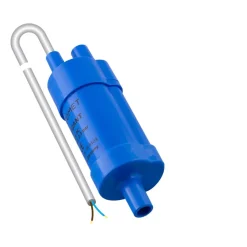 Campaid In-line 12V Pump
2 × R389.00
Campaid In-line 12V Pump
2 × R389.00 -
×
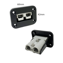 Lumeno Square Connector Panel – Single
1 × R110.00
Lumeno Square Connector Panel – Single
1 × R110.00 -
×
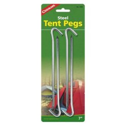 Coghlans Steel Tents Pegs - 7 inch, 4 per Pack
1 × R49.00
Coghlans Steel Tents Pegs - 7 inch, 4 per Pack
1 × R49.00 -
×
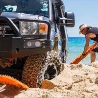
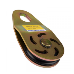 SecureTech Snatch Block HD 14T
1 × R695.00
SecureTech Snatch Block HD 14T
1 × R695.00 -
×
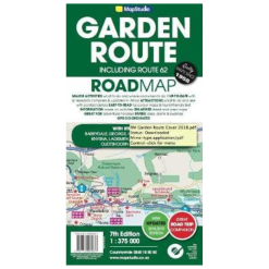
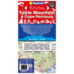 Map Studio Map Table Mountain 4th Edition
1 × R179.00
Map Studio Map Table Mountain 4th Edition
1 × R179.00

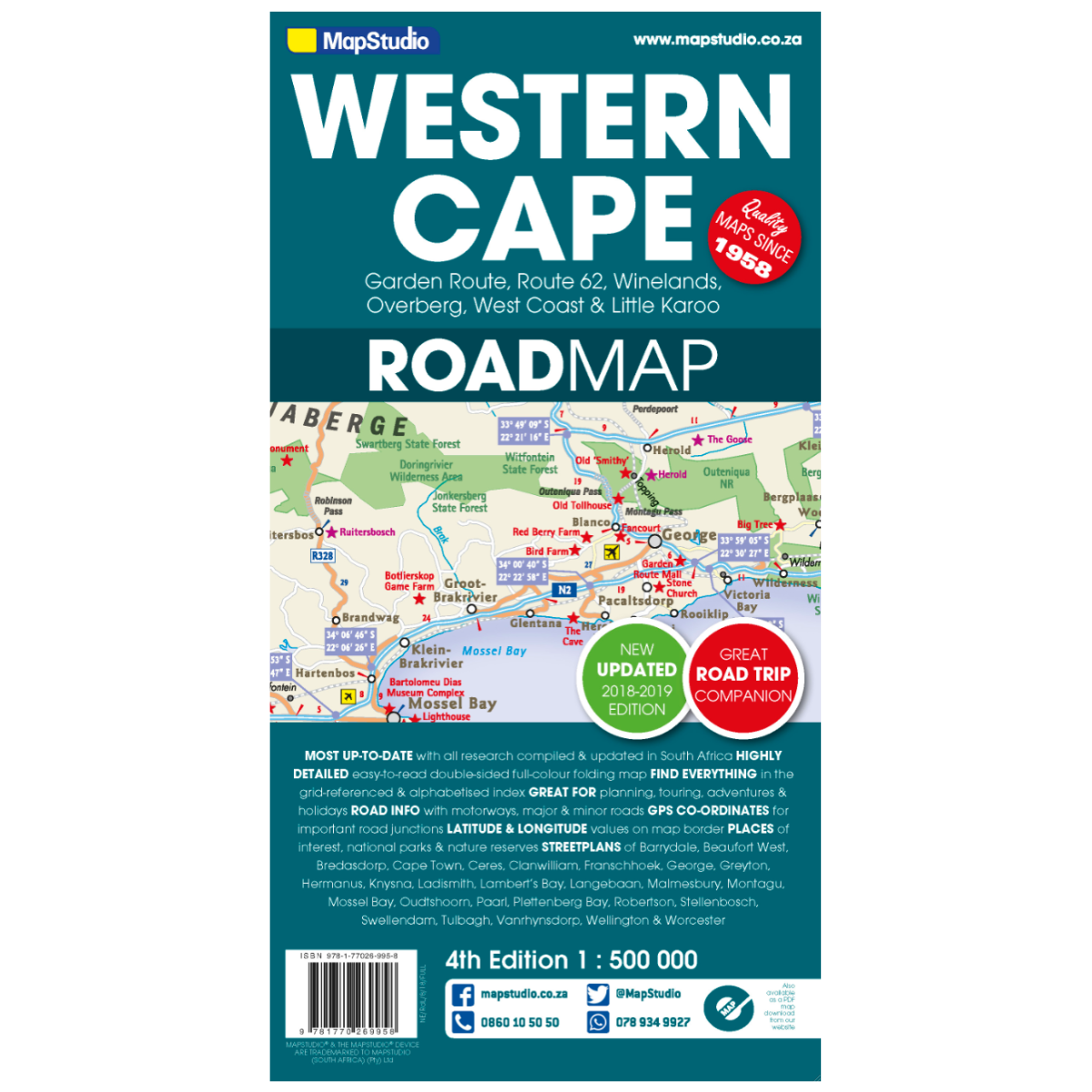
Map Studio Western Cape 4th Edition
Low Stock
Paper map