-
×
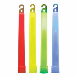 Coghlans Lightsticks Assorted - 4 Pack
1 × R185.00
Coghlans Lightsticks Assorted - 4 Pack
1 × R185.00 -
×
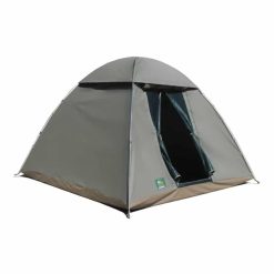
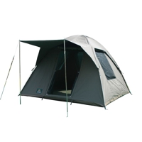
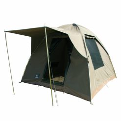 Tentco Junior Safari Bow Deluxe Camping Tent
1 × R6,495.00
Tentco Junior Safari Bow Deluxe Camping Tent
1 × R6,495.00 -
×
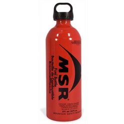 MSR Fuel Bottle 590ml
1 × R615.00
MSR Fuel Bottle 590ml
1 × R615.00 -
×
 Tentco Savannah 3 Bow Camping Tent
1 × R3,695.00
Tentco Savannah 3 Bow Camping Tent
1 × R3,695.00 -
×
 Tentco Firewood Bag
1 × R279.00
Tentco Firewood Bag
1 × R279.00 -
×
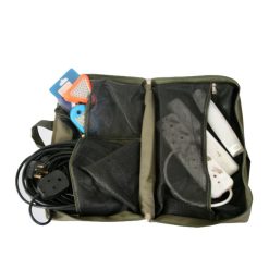 Tentco Electrical Bag
1 × R369.00
Tentco Electrical Bag
1 × R369.00 -
×
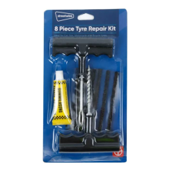 Streetwize Tyre Repair Kit 8pc
1 × R55.00
Streetwize Tyre Repair Kit 8pc
1 × R55.00 -
×
 Front Runner Stratchit Shorties 47-101cm Tie Down Straps, 2-pack
1 × R415.00
Front Runner Stratchit Shorties 47-101cm Tie Down Straps, 2-pack
1 × R415.00 -
×
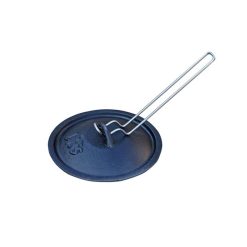 LK's Potjie Lid Lifter
1 × R55.00
LK's Potjie Lid Lifter
1 × R55.00 -
×
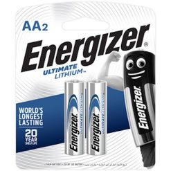 Energizer Ultimate Lithium AA 2-Pack
1 × R195.00
Energizer Ultimate Lithium AA 2-Pack
1 × R195.00 -
×
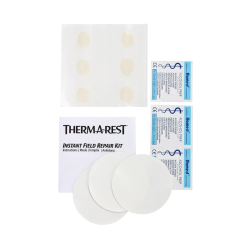 Therm-A-Rest Instant Field Repair Kit
1 × R319.00
Therm-A-Rest Instant Field Repair Kit
1 × R319.00 -
×
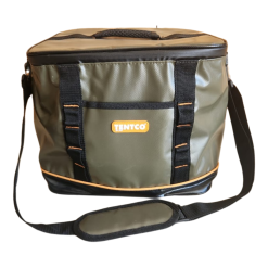 Tentco PVC Cooler Bag 28L
1 × R499.00
Tentco PVC Cooler Bag 28L
1 × R499.00 -
×
 Campotel 12V Travel Sandwich Press
1 × R2,250.00
Campotel 12V Travel Sandwich Press
1 × R2,250.00 -
×
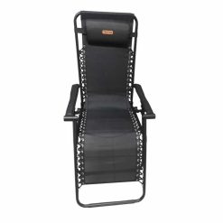 Tentco Lounger
1 × R1,195.00
Tentco Lounger
1 × R1,195.00 -
×
 Sani-Touch Stop Mozzie Wipes
1 × R89.00
Sani-Touch Stop Mozzie Wipes
1 × R89.00 -
×
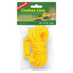 COGHLANS CLOTHESLINE 7.6M
1 × R55.00
COGHLANS CLOTHESLINE 7.6M
1 × R55.00 -
×
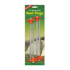 Coghlans Nail Pegs - 4 Pack
1 × R129.00
Coghlans Nail Pegs - 4 Pack
1 × R129.00 -
×
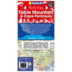 Map Studio Map Table Mountain 4th Edition
1 × R179.00
Map Studio Map Table Mountain 4th Edition
1 × R179.00


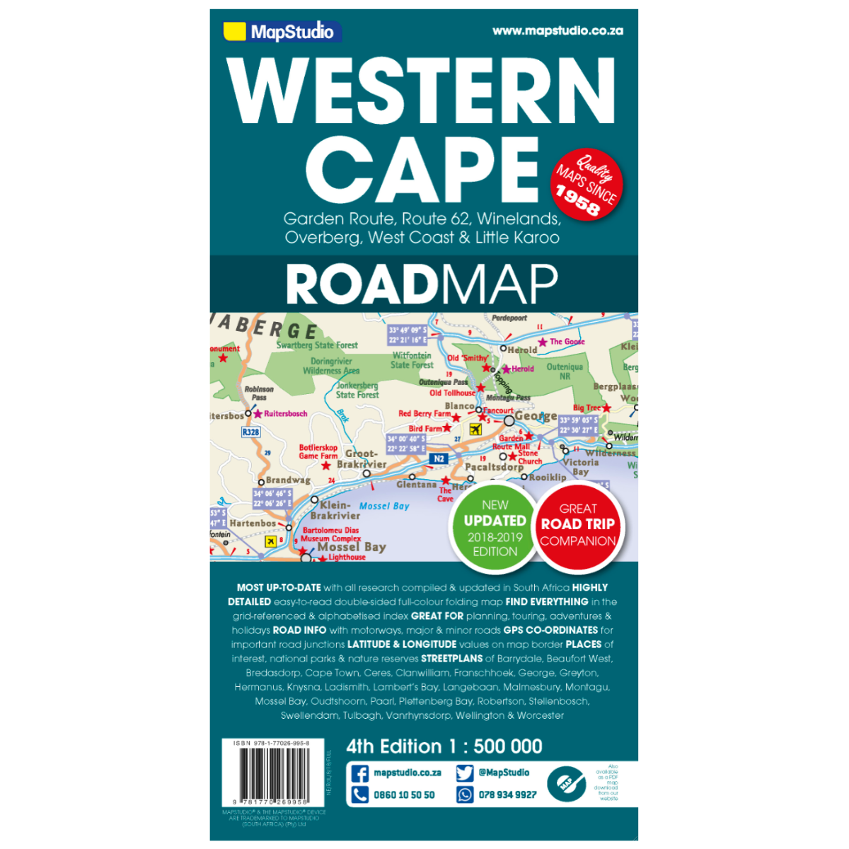
Map Studio Western Cape 4th Edition
Low Stock
Paper map