




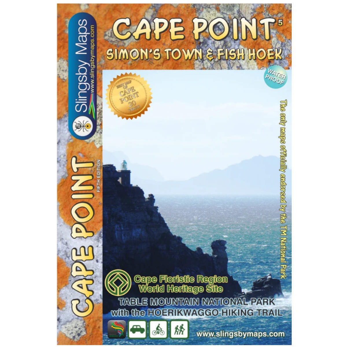
Slingsby Cape Point Simons Town Map – 5th Edition
R295.00
Paper Map

Pay in 3 or 12. The Clever Way to Pay.
From over 12 months or 3 interest free payments.
Learn more...
From over 12 months or 3 interest free payments.
Learn more...


Your flexible payment provider.
Example payment for
x 3
0% interest, zero fees.
0% interest, zero fees.
Pay in 3
x 12
28.25% interest, plus fees.
Total Payment
28.25% interest, plus fees.
Total Payment
Pay in 12
How does PayJustNow work?
-
 Shop and choose PayJustNow at checkout.
-
 Sign up and get instant approval.
-
 Pay in 3 or 12.
You can complete sign-up in under 2 minutes - no need to leave your cart!

Description
The Slingsby Cape Point Simons Town Map – 5th Edition is a detailed hiking and touring map covering Cape Point, Simon’s Town and the southern Cape Peninsula. Map Three in the Table Mountain National Park series, it shows approved hiking paths, roads, GPS waypoints and tourist facilities across both sides of the double-sided map. It also includes the Hoerikwaggo Trail and detailed topographic and offshore information.
Features:
- Fully redrawn and highly detailed 5th Edition
- Covers the entire Cape Point Nature Reserve
- Includes Simon’s Town, Kommetjie, Glencairn, Fish Hoek and Kalk Bay
- Also covers Miller’s Point, Red Hill, Scarborough and Witsand
- Shows the Hoerikwaggo Trail
- All approved hiking paths clearly marked
- Hiking distances and walking times included
- GPS coordinates in DDMMSS format at major junctions and key locations
- 5m contour intervals with colour shading
- Shows woodlands, sandy areas, spot heights and key topographic features
- Nature reserve and restricted-entry boundaries clearly marked
- Road network includes private roads, signposts and parking areas
- Indicates recommended and restricted hiking sections
- Highlights drinking water points, viewpoints, recreational sites and wildlife viewing areas
- Includes campsites, tourist accommodation and restaurants
- Photos and notes on key points of interest
- Includes a topo graph showing distances and directions to major cities worldwide
- Offshore hydrographic information from the SA Navy, including sea-floor details, rocks and wreck hazards
- UTM grid lines at 200m intervals
- Latitude/longitude lines at 1′ intervals
- Waterproof and tear-resistant
- Supplied in a plastic sleeve
Specifications:
Format: Double-Sided
Scale: 1:20,000