




Slingsby Namaqualand Waterproof Map – 1st Edition
R299.00
Paper Map

From over 12 months or 3 interest free payments.
Learn more...


Your flexible payment provider.
Example payment for
0% interest, zero fees.
28.25% interest, plus fees.
Total Payment
How does PayJustNow work?
-
 Shop and choose PayJustNow at checkout.
-
 Sign up and get instant approval.
-
 Pay in 3 or 12.
You can complete sign-up in under 2 minutes - no need to leave your cart!

Description
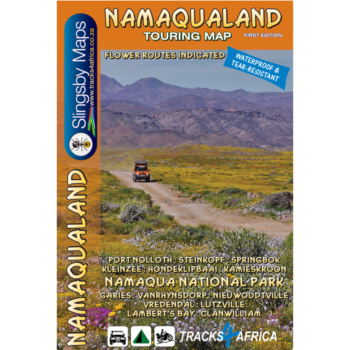
The Slingsby Namaqualand Waterproof Map – 1st Edition is a detailed touring map designed for road trips and exploration across the Namaqualand region. Covering the area from Clanwilliam to Port Nolloth and Vioolsdrift, and extending east to the Kamiesberge and Nieuwoudtville, it highlights flower routes, remote tracks, scenic roads and key travel information. Printed on waterproof, tear-resistant Duraflex paper, it is well suited to adventurous travel in the region.
Features:
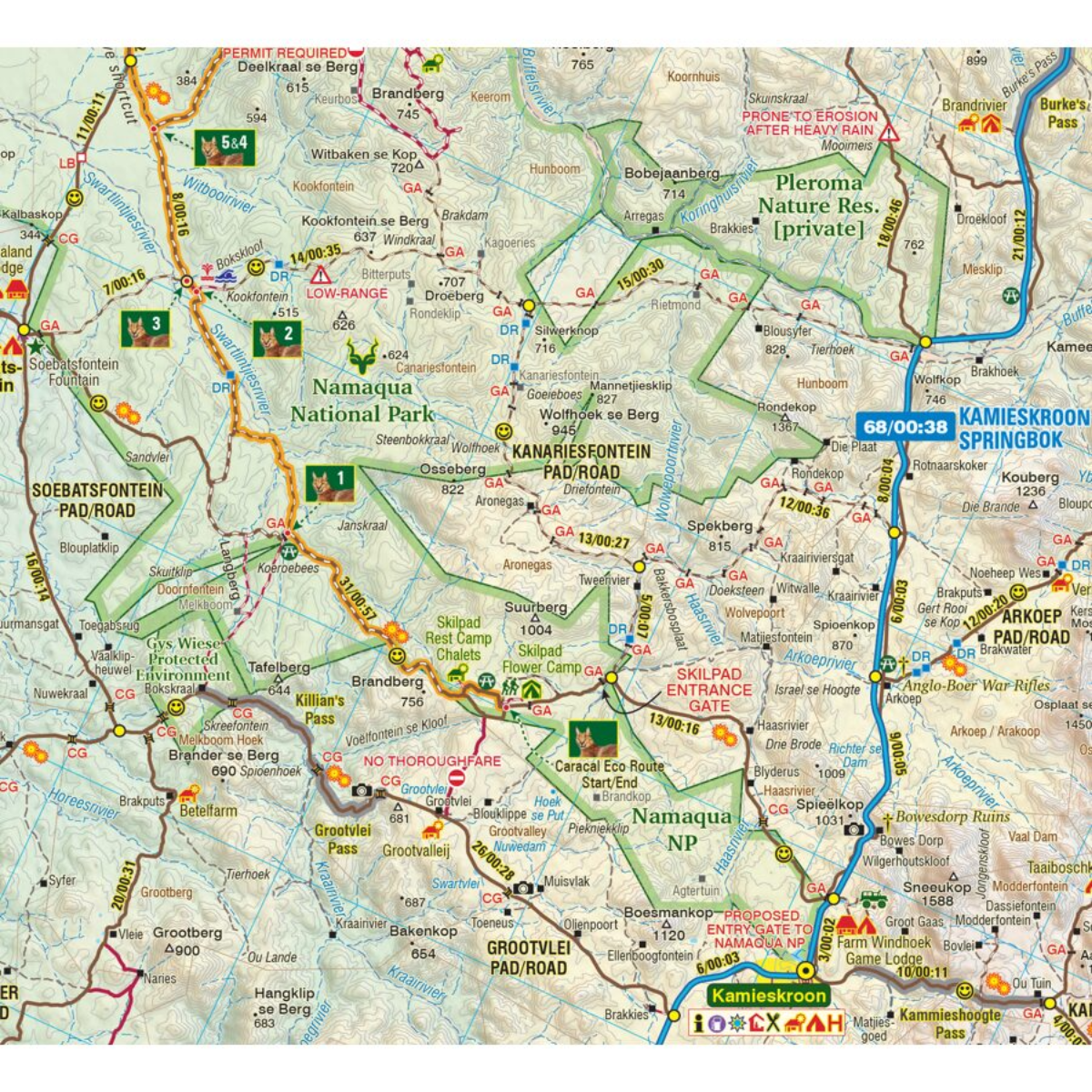
- Covers the Namaqualand flower region
- Flower routes indicated by a daisy
- Includes the entire Namakwa National Park
- Includes the Caracal Eco Trail
- Detailed 1:250,000 touring map
- Road classification for gravel, two-spoor and 4WD routes
- Travel times and distances indicated on roads
- Scenic and recommended roads marked with a smiley face
- Road access status included
- Accommodation, camping and basic services shown
- Cadastral boundaries and protected areas included
- Waterproof and tear-resistant Duraflex paper
- Double-sided format
- Supplied in a protective plastic sleeve
Specifications:
Folded Size: 209 x 142mm
Unfolded Size: 836 x 566mm
Material: Waterproof and Tear-Resistant Duraflex Paper
Publication Date: 2026
Weight: 90g