




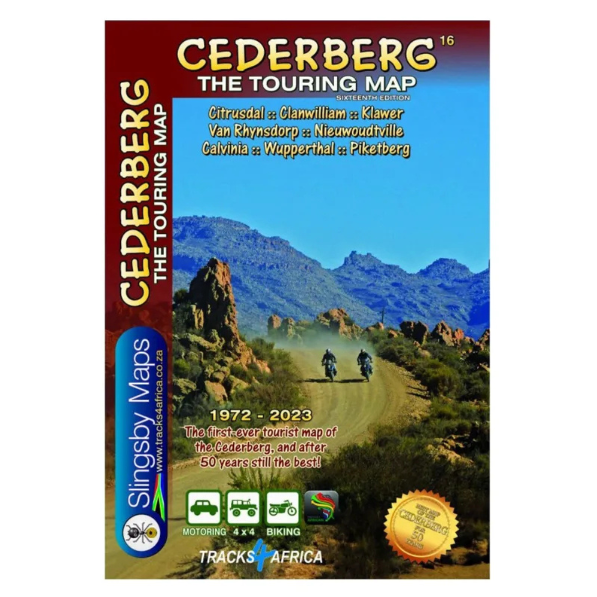
Slingsby Cederberg Touring Map – 16th Edition
R295.00
Paper Map

From over 12 months or 3 interest free payments.
Learn more...


Your flexible payment provider.
Example payment for
0% interest, zero fees.
28.25% interest, plus fees.
Total Payment
How does PayJustNow work?
-
 Shop and choose PayJustNow at checkout.
-
 Sign up and get instant approval.
-
 Pay in 3 or 12.
You can complete sign-up in under 2 minutes - no need to leave your cart!

Description
The Slingsby Cederberg Touring Map – 16th Edition is a detailed map for exploring the Cederberg and surrounding areas, compiled from extensive field research and local knowledge. Covering everything from national highways to 4×4 routes, it provides valuable information on road conditions, accommodation, attractions and access. This edition also extends northwards into the Hantam and Knersvlakte flower regions, making it a useful companion for exploring the wider area.
Features:
- Covers the Cederberg and surrounding regions
- Shows roads from national highways to 4×4 routes
- Minor road conditions indicated for wet and dry weather
- Includes mountain biking, horse riding, hiking and river rafting facilities
- Shows nature reserves, golf facilities, farm stalls, historic sites and wine estates
- Tourism information offices and police stations included
- Shows accommodation from lodges and backpackers to campsites
- Telephone numbers provided for tourism facilities and accommodation
- Wilderness Area and conservancy boundaries clearly indicated
- Northern extension includes Loeriesfontein, Nieuwoudtville, Calvinia, Klawer and Vanrhynsdorp
- Includes a General Reference Map of the West Coast
- West Coast map extends from the Atlantic Ocean to the Karoo
- Extensive detail based on research and local knowledge
Specifications:
Northern Extension: Loeriesfontein, Nieuwoudtville, Calvinia, Klawer and Vanrhynsdorp
West Coast Coverage: Loeriesfontein to Moorreesburg
West Coast Reference Scale: 1:1,500,000