





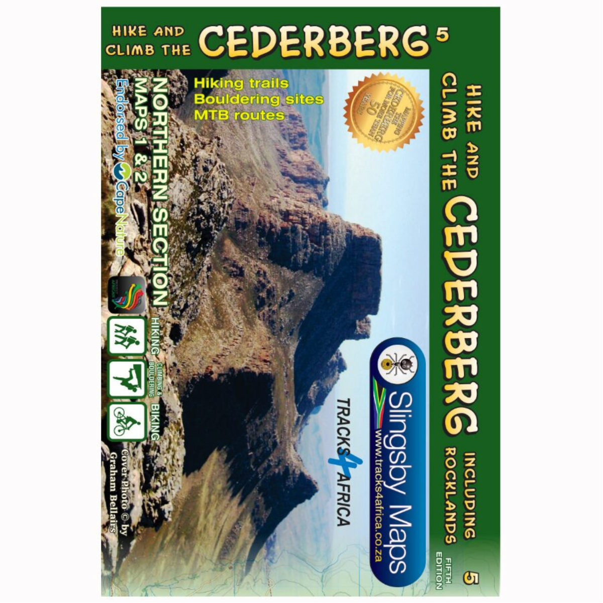
Slingsby Hike The Cederberg Map – 5th Edition
R459.00
Paper Maps

Pay in 3 or 12. The Clever Way to Pay.
From over 12 months or 3 interest free payments.
Learn more...
From over 12 months or 3 interest free payments.
Learn more...


Your flexible payment provider.
Example payment for
x 3
0% interest, zero fees.
0% interest, zero fees.
Pay in 3
x 12
28.25% interest, plus fees.
Total Payment
28.25% interest, plus fees.
Total Payment
Pay in 12
How does PayJustNow work?
-
 Shop and choose PayJustNow at checkout.
-
 Sign up and get instant approval.
-
 Pay in 3 or 12.
You can complete sign-up in under 2 minutes - no need to leave your cart!

Description
The Slingsby Hike The Cederberg Map – 5th Edition is a comprehensive hiking and climbing map set covering the Cederberg Wilderness from Wolfdrif to Mount Ceder.
Features:
- Includes over 200 new bouldering sites
- Uses official CapeNature trail names and codes
- Covers the Cederberg Wilderness from Wolfdrif to Mount Ceder
- Shows every public footpath with distances, GPS coordinates, altitudes and junction details
- Highlights hiking trails, bouldering sites and mountain biking trails
- Shows caves, perennial pools, rock formations and historic sites
- Rock art caves shown only on supervised trails
- Includes more than 500 local place names
- Based on knowledge from hikers, mountaineers and local communities
- Shows roads, untarred routes, 4WD tracks and private roads requiring permission
- GPS waypoints mark important junctions
- Symbols identify accommodation, restaurants, picnic sites, craft shops, fuel, wineries and recreation facilities
- Waterproof and tear-resistant Duraflex material
- Supplied in a folding slipcase
Specifications:
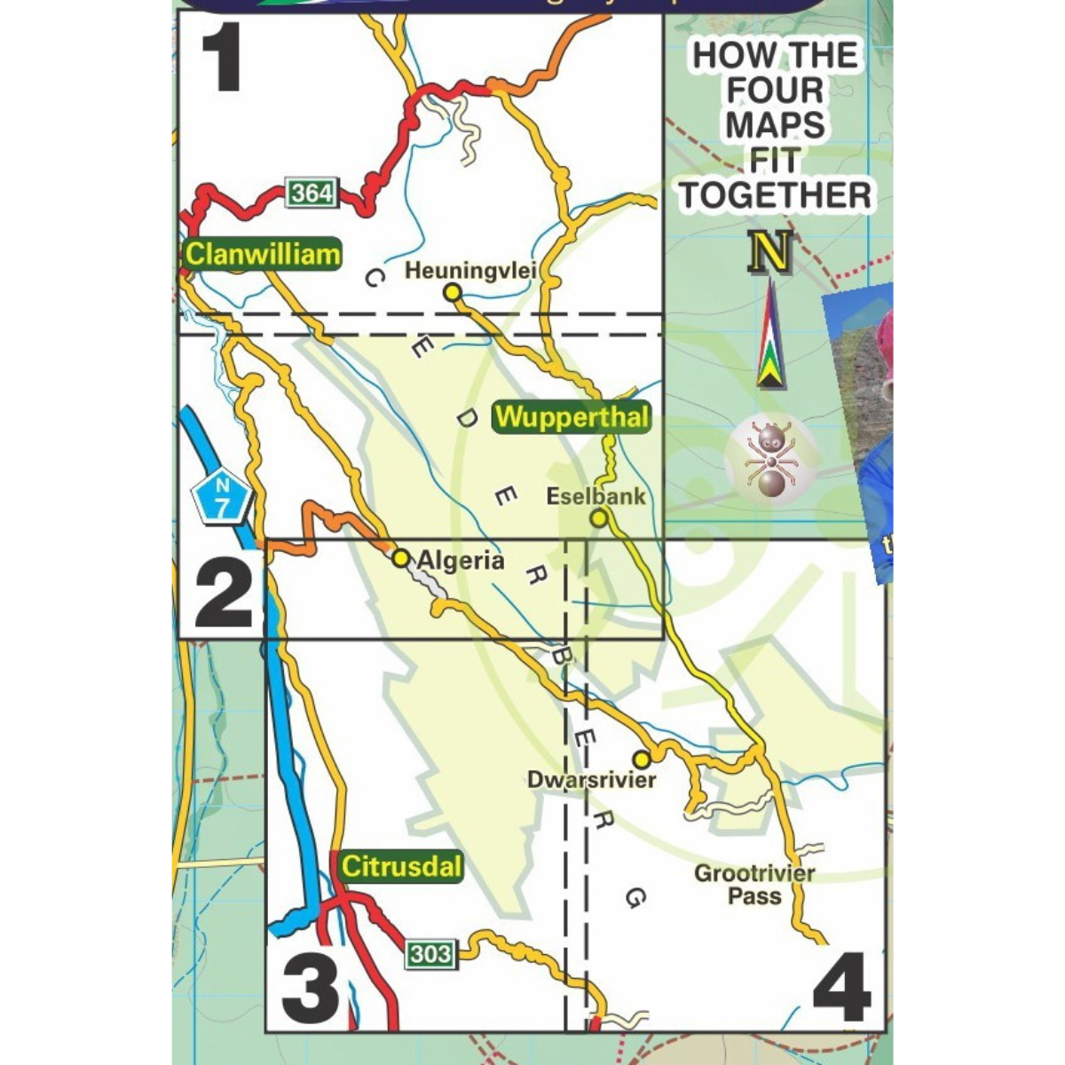
Map Set: 2 Double-Sided A1 Maps (4 Map Panels)
Scale: 1:40,000
Contours: 20m