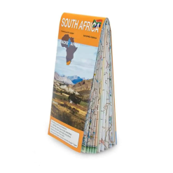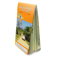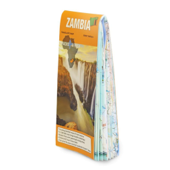




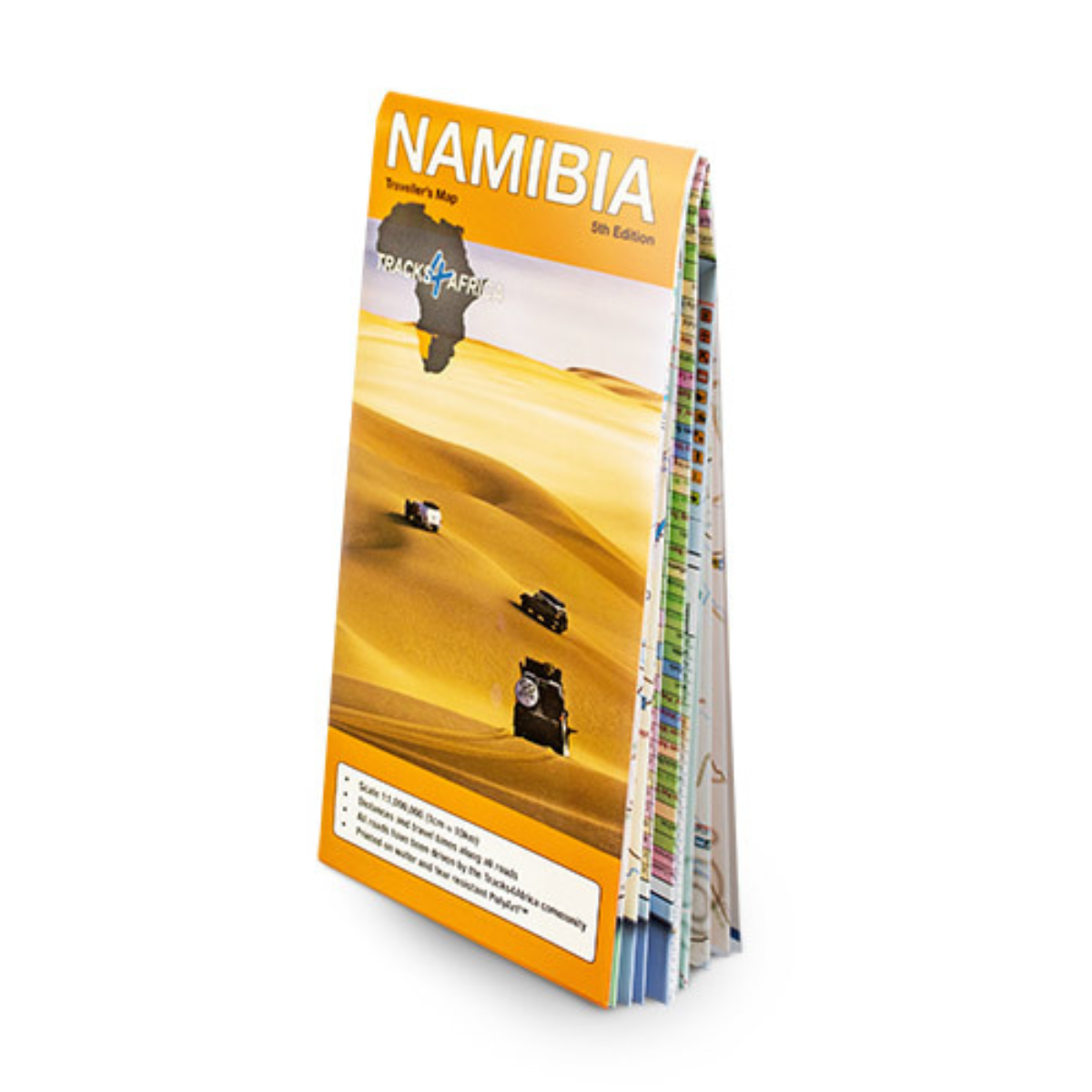
Tracks 4 Africa Namibia Traveller’s Paper Map 5th Edition
R425.00
Paper map offering travel time information for the entire road network, be it on tar, gravel or sand!

Pay in 3 or 12. The Clever Way to Pay.
From over 12 months or 3 interest free payments.
Learn more...
From over 12 months or 3 interest free payments.
Learn more...


Your flexible payment provider.
Example payment for
x 3
0% interest, zero fees.
0% interest, zero fees.
Pay in 3
x 12
28.25% interest, plus fees.
Total Payment
28.25% interest, plus fees.
Total Payment
Pay in 12
How does PayJustNow work?
-
 Shop and choose PayJustNow at checkout.
-
 Sign up and get instant approval.
-
 Pay in 3 or 12.
You can complete sign-up in under 2 minutes - no need to leave your cart!

Description
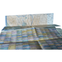
The Tracks4Africa Namibia paper map, intended to complement the T4A GPS Map of Namibia, is the largest map available for the country with a scale of 1:1,000,000. It provides an ideal tool for planning your next holiday in Namibia.
Features:
- Travel times and distances included on the map
- What you see on the paper map is exactly what you get on T4A GPS Maps
- Comprehensive set of roads and tracks in nature reserves
- Detailed information on camp sites and attractions
- Border crossings indicated with opening and closing times
- Visit www.tracks4africa.com for detail on places of interest
- Kaokoland in great detail with all off road tracks shown
- Detailed maps for Swakopmund and Windhoek
- Each town is shown with up to date tourist services information
- Shaded relief to accentuate mountains and other topographical features.
Specifications:
When unfolded this map is 1000x1265mm.