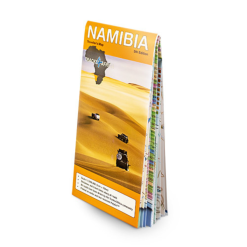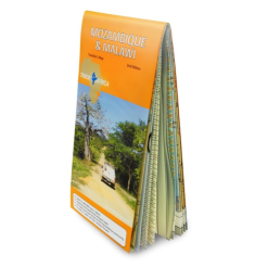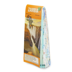





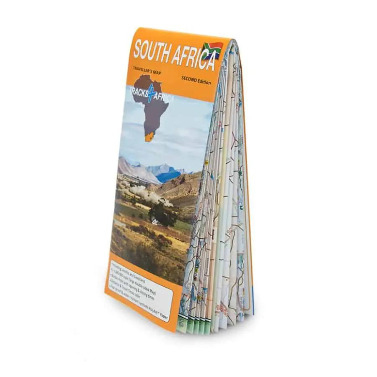

Tracks 4 Africa South Africa Traveller’s Paper Map 2nd Edition
R425.00
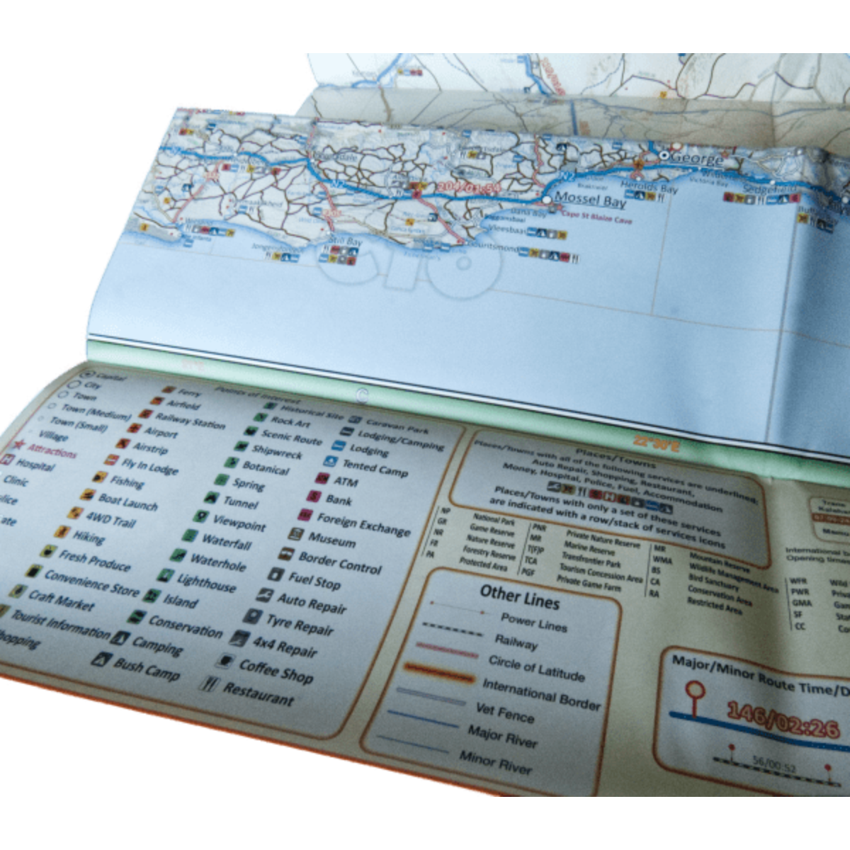
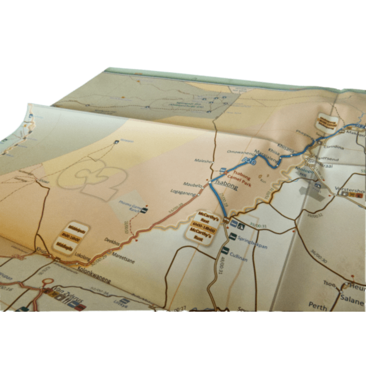
Paper map offering travel time information for the entire road network, be it on tar, gravel or sand!

Pay in 3 or 12. The Clever Way to Pay.
From over 12 months or 3 interest free payments.
Learn more...
From over 12 months or 3 interest free payments.
Learn more...


Your flexible payment provider.
Example payment for
x 3
0% interest, zero fees.
0% interest, zero fees.
Pay in 3
x 12
28.25% interest, plus fees.
Total Payment
28.25% interest, plus fees.
Total Payment
Pay in 12
How does PayJustNow work?
-
 Shop and choose PayJustNow at checkout.
-
 Sign up and get instant approval.
-
 Pay in 3 or 12.
You can complete sign-up in under 2 minutes - no need to leave your cart!

Description
Tracks4Africa maps are tailored for self-drive travelers and come packed with information to help you plan your next adventure. The Tracks4Africa South Africa paper map is meant to be used alongside the T4A GPS Map of South Africa.
Features:
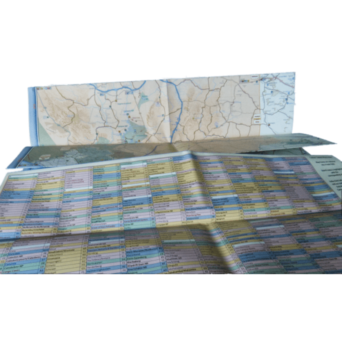
- • Large 1:1,000,000 scale (large double-sided map)
• Travel times and distances shown on roads
• Large paper map, printed on both sides folds down to easy to use size. Packed in a plastic sleeve for extra protection.
• What you see on the paper map is exactly what you get on T4A GPS Maps
• Comprehensive set of roads and tracks in nature reserves
• Map designed to suit the needs of self-drive travellers
• Border crossings indicated with opening and closing times
• Visit www.tracks4africa.com for detail on places of interest
• Printed on tear and water resistant PolyArt paper suitable for outdoor use
• Shaded relief background
Specifications:
When unfolded this map is 1000x1380mm.