-
×
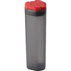 MSR Alpine Spice Shaker
1 × R229.00
MSR Alpine Spice Shaker
1 × R229.00 -
×
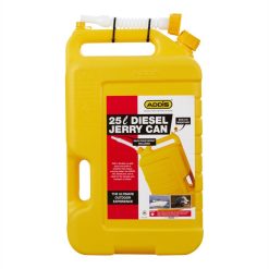 Addis Fuel Jerry Can 25L Yellow
1 × R399.00
Addis Fuel Jerry Can 25L Yellow
1 × R399.00 -
×
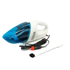 Streetwize Car Vacuum 12v Wet + Dry
1 × R349.00
Streetwize Car Vacuum 12v Wet + Dry
1 × R349.00 -
×
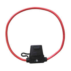 Lumeno In-Line Fuse Holder with Indicator
1 × R70.00
Lumeno In-Line Fuse Holder with Indicator
1 × R70.00 -
×
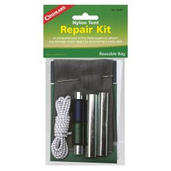 Coghlans Nylon Tent Repair Kit
1 × R110.00
Coghlans Nylon Tent Repair Kit
1 × R110.00 -
×
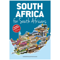 South Africa for South Africans - Ressen
1 × R269.00
South Africa for South Africans - Ressen
1 × R269.00 -
×
 Tentco Firewood Bag
1 × R279.00
Tentco Firewood Bag
1 × R279.00 -
×
 Slingsby Map Cederberg Touring 11
1 × R280.00
Slingsby Map Cederberg Touring 11
1 × R280.00


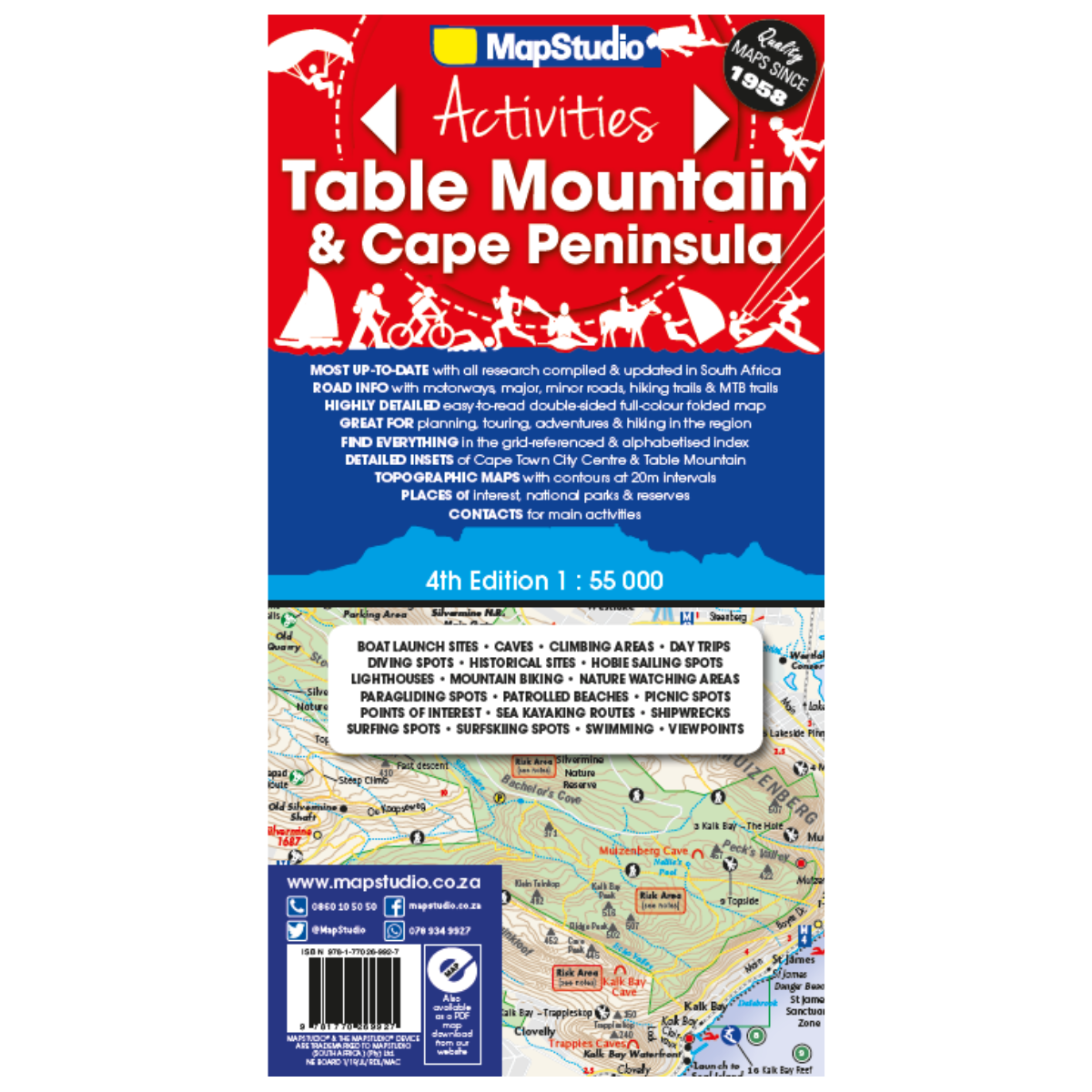
Map Studio Map Table Mountain 4th Edition
R179.00
Paper map
 Pay over 3 EQUAL zero-interest
instalments of R59.67 with PayJustNow.
Pay over 3 EQUAL zero-interest
instalments of R59.67 with PayJustNow.
Find out how...

HOW IT WORKS
PayJustNow allows you to pay for your purchase over 3 payments with 0% interest and no fees. Pay a third at checkout and you get your goods as if you have paid in full. The remaining two instalments are debited on your specified instalment date.

Browse online or in-store and proceed to check-out

Choose PayJustNow as your payment method
Create your account and get an instant approval decision

Complete your transaction
WHAT YOU WILL NEED

BE OVER 18
YEARS OLD
BE AN SA
RESIDENT
HAVE A DEBIT OR
CREDIT CARD
HAVE A VALID
EMAIL ADDRESS
0% INTEREST. 3 PAYMENTS. NO STRESS.
WHY PAY ANY OTHER WAY?