-
×
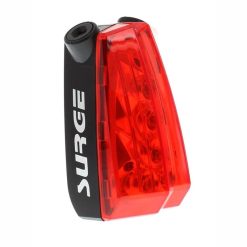 Surge Laser Beam Bicycle Light
1 × R299.00
Surge Laser Beam Bicycle Light
1 × R299.00 -
×
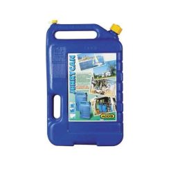
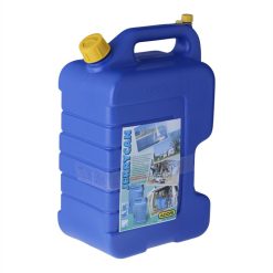 Addis Water Jerry Can 15L Blue
1 × R279.00
Addis Water Jerry Can 15L Blue
1 × R279.00 -
×
 African Wildlife to Read, Colour and Keep
4 × R139.00
African Wildlife to Read, Colour and Keep
4 × R139.00 -
×
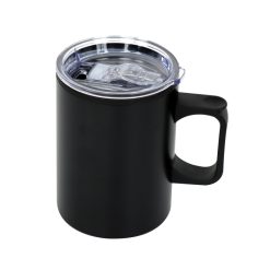 LeisureQuip 450ml Travel Camp Mug Black
1 × R148.00
LeisureQuip 450ml Travel Camp Mug Black
1 × R148.00 -
×
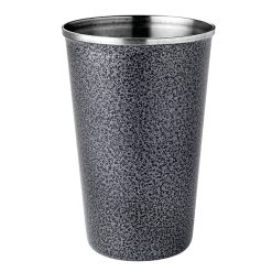 LeisureQuipTumbler 300ml S/S Hammertone Silver
1 × R42.00
LeisureQuipTumbler 300ml S/S Hammertone Silver
1 × R42.00 -
×
 Addis Water Jerry Can 25L Blue
1 × R349.00
Addis Water Jerry Can 25L Blue
1 × R349.00 -
×
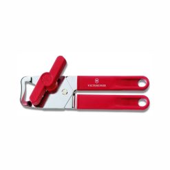 Victorinox Can Opener Universal Red
1 × R399.00
Victorinox Can Opener Universal Red
1 × R399.00 -
×
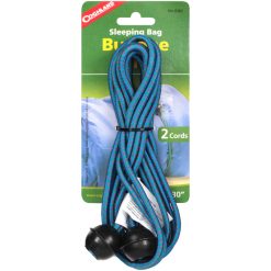 Coghlans Sleeping Bag Bungee Cords
1 × R50.00
Coghlans Sleeping Bag Bungee Cords
1 × R50.00 -
×
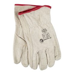 Strike-Arc Soft Leather Gloves
1 × R139.00
Strike-Arc Soft Leather Gloves
1 × R139.00 -
×
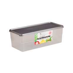 Addis Bread or Vegetable Saver 5.5 L
1 × R120.00
Addis Bread or Vegetable Saver 5.5 L
1 × R120.00 -
×
 BLACK DIAMOND STOPPER #4
1 × R259.00
BLACK DIAMOND STOPPER #4
1 × R259.00 -
×
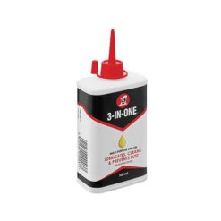 3-in-1 Multi-purpose Oil 100ml
1 × R125.00
3-in-1 Multi-purpose Oil 100ml
1 × R125.00 -
×
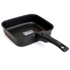 Square Frypan for camping
1 × R1,995.00
Square Frypan for camping
1 × R1,995.00 -
×
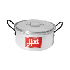 Hart Z2 Aluminium Pot with Lid 3.5L
1 × R159.00
Hart Z2 Aluminium Pot with Lid 3.5L
1 × R159.00 -
×
 Highlander Deluxe Enamel Mug Navy
1 × R95.00
Highlander Deluxe Enamel Mug Navy
1 × R95.00 -
×
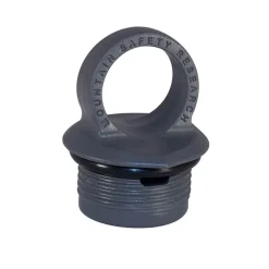 MSR Expedition Fuel Bottle Cap
1 × R289.00
MSR Expedition Fuel Bottle Cap
1 × R289.00 -
×
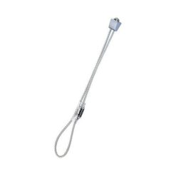
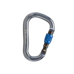 Black Diamond Rocklock Screwgate Carabiner
1 × R329.00
Black Diamond Rocklock Screwgate Carabiner
1 × R329.00 -
×
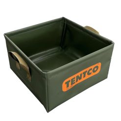 Tentco Folding Camp Basin 13L
1 × R179.00
Tentco Folding Camp Basin 13L
1 × R179.00 -
×
 Slingsby Map Cape Point/Simons Town 4
1 × R280.00
Slingsby Map Cape Point/Simons Town 4
1 × R280.00

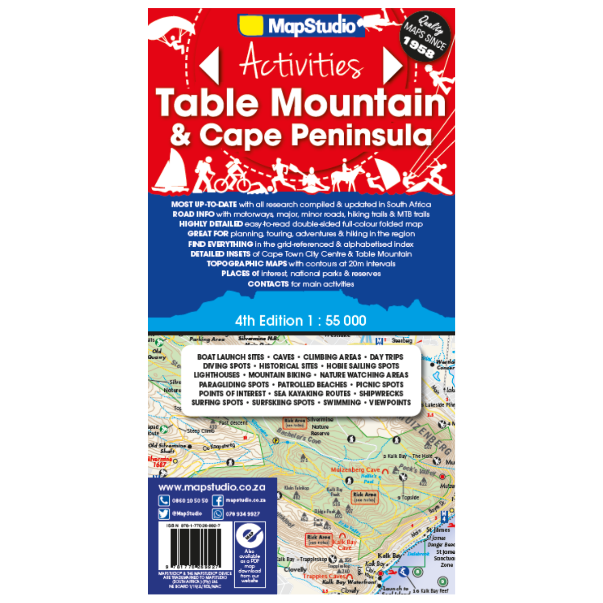
Map Studio Map Table Mountain 4th Edition
R179.00
Paper map
 Pay over 3 EQUAL zero-interest instalments of R59.67 with PayJustNow.
Find out how...

HOW IT WORKS
PayJustNow allows you to pay for your purchase over 3 payments with 0% interest and no fees. Pay a third at checkout and receive your goods immediately. The remaining two instalments are debited on your selected instalment dates.
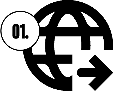
Browse online or in-store and proceed to checkout
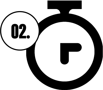
Choose PayJustNow as your payment method
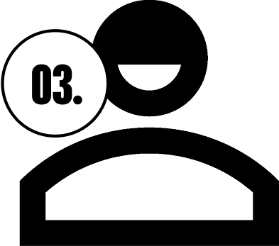
Create your account and receive an instant approval decision
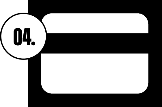
Complete your transaction
WHAT YOU WILL NEED

Be over 18 years old
Be a South African resident
Have a debit or credit card
Have a valid email address
0% INTEREST. 3 PAYMENTS. NO STRESS.
WHY PAY ANY OTHER WAY?