-
×
 Coghlan's Lightweight Dry Bag 40L
1 × R459.00
Coghlan's Lightweight Dry Bag 40L
1 × R459.00 -
×
 Campotel 12V Travel Sandwich Press
1 × R2,250.00
Campotel 12V Travel Sandwich Press
1 × R2,250.00 -
×
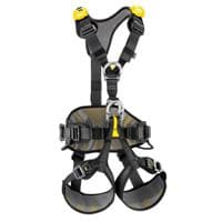
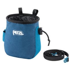 Petzl Saka Chalk Bag Blue
1 × R395.00
Petzl Saka Chalk Bag Blue
1 × R395.00 -
×
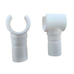 Campaid T-Clamp Clip-on 22mm 2pk
1 × R35.00
Campaid T-Clamp Clip-on 22mm 2pk
1 × R35.00 -
×
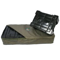 Tentco Ama Crate Cover (3 Box)
1 × R789.00
Tentco Ama Crate Cover (3 Box)
1 × R789.00 -
×
 Coghlans Folding Scissors
1 × R69.00
Coghlans Folding Scissors
1 × R69.00


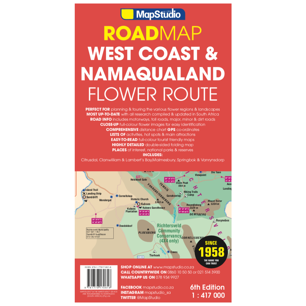
Map Studio Road Map – Flower Route and West Coast
R179.00
Paper map
 Pay over 3 EQUAL zero-interest
instalments of R59.67 with PayJustNow.
Pay over 3 EQUAL zero-interest
instalments of R59.67 with PayJustNow.
Find out how...

HOW IT WORKS
PayJustNow allows you to pay for your purchase over 3 payments with 0% interest and no fees. Pay a third at checkout and you get your goods as if you have paid in full. The remaining two instalments are debited on your specified instalment date.

Browse online or in-store and proceed to check-out

Choose PayJustNow as your payment method
Create your account and get an instant approval decision
Complete your transaction
WHAT YOU WILL NEED

BE OVER 18
YEARS OLD
BE AN SA
RESIDENT
HAVE A DEBIT OR
CREDIT CARD
HAVE A VALID
EMAIL ADDRESS
0% INTEREST. 3 PAYMENTS. NO STRESS.
WHY PAY ANY OTHER WAY?

Description
Explore the beauty of the flower route region with this detailed road map featuring:
Features:
- Information boxes on activities and facilities available
- Over 45 detailed flower identification photos
- Double-sided map supporting responsible land use and promoting tourism
- Attractions and contact information
- Well-researched information by a dedicated research department
- GPS coordinates
- Includes the entire route from Cape Town to the Namibian border, Richtersveld National Park, Namaqua National Park, West Coast National Park, and Cederberg
- Street plans of Vanrhynsdorp, Malmesbury, Lambert’s Bay, Citrusdal, Clanwilliam, and Springbok
Specifications:
Detailed exploring map at a scale of 1:417,000