-
×
 Summit She Relieve Female Urination Device
1 × R69.00
Summit She Relieve Female Urination Device
1 × R69.00 -
×
 Addis 3 in 1 Sponge Scourer (3pk)
1 × R35.00
Addis 3 in 1 Sponge Scourer (3pk)
1 × R35.00 -
×
 Tentco Firewood Bag
1 × R279.00
Tentco Firewood Bag
1 × R279.00 -
×
 100 Bushveld Trees - Megan Emmett Parker
1 × R369.00
100 Bushveld Trees - Megan Emmett Parker
1 × R369.00 -
×
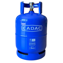 Cadac Gas Cylinder 3kg
1 × R599.00
Cadac Gas Cylinder 3kg
1 × R599.00 -
×
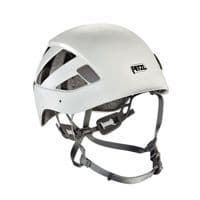
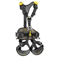
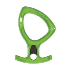 Petzl Pirana Club Descender
1 × R689.00
Petzl Pirana Club Descender
1 × R689.00 -
×
 Addis Fuel Can 10L
2 × R349.00
Addis Fuel Can 10L
2 × R349.00 -
×
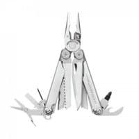
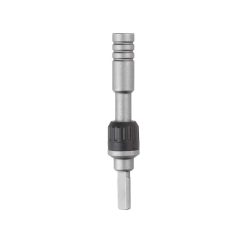 Leatherman Ratchet Driver
2 × R995.00
Leatherman Ratchet Driver
2 × R995.00 -
×
 Livelekker Potjie Brush
1 × R129.00
Livelekker Potjie Brush
1 × R129.00 -
×
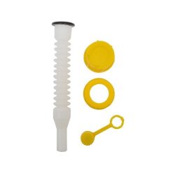 Addis Jerry Can Replacement Set
1 × R115.00
Addis Jerry Can Replacement Set
1 × R115.00 -
×
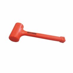 Tentco Dead Blow Mallet
2 × R225.00
Tentco Dead Blow Mallet
2 × R225.00 -
×
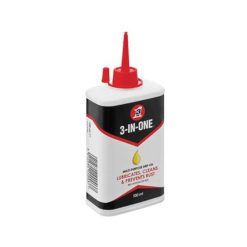 3-in-1 Multi-purpose Oil 100ml
1 × R95.00
3-in-1 Multi-purpose Oil 100ml
1 × R95.00 -
×
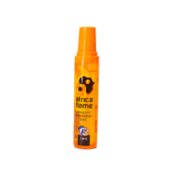 Africa Flame Gas Lighter Refill 18ml
1 × R18.00
Africa Flame Gas Lighter Refill 18ml
1 × R18.00 -
×
 Afritrail Panda Camping Chair for Kids
1 × R275.00
Afritrail Panda Camping Chair for Kids
1 × R275.00 -
×
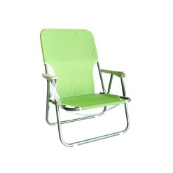 Afritrail Ballito Beach Chair
1 × R495.00
Afritrail Ballito Beach Chair
1 × R495.00 -
×
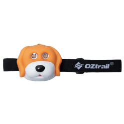 Oztrail Kids Dog Headlamp
1 × R149.00
Oztrail Kids Dog Headlamp
1 × R149.00 -
×
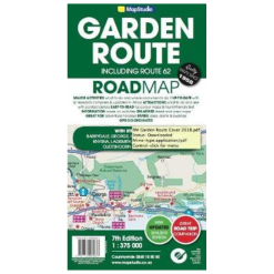 Map Studio Garden Route & Route 62 Road Map
1 × R179.00
Map Studio Garden Route & Route 62 Road Map
1 × R179.00

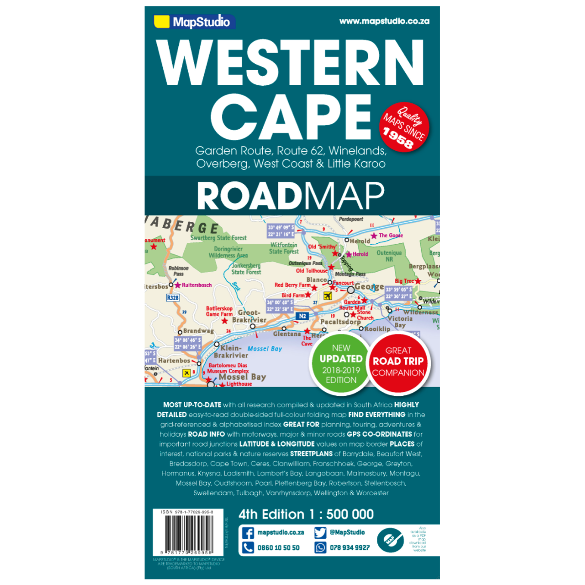
Map Studio Western Cape 4th Edition
Low Stock
Paper map