








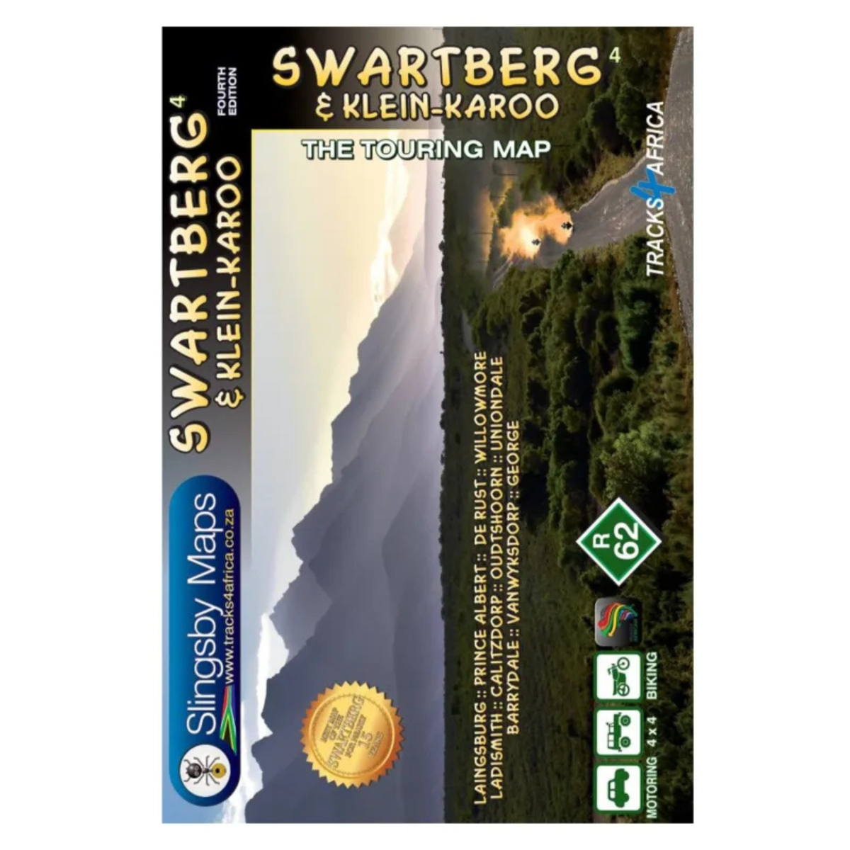
Slingsby Map Swartberg + Klein Karoo – 4th Edition
R299.00
Touring map.

From over 12 months or 3 interest free payments.
Learn more...


Your flexible payment provider.
Example payment for
0% interest, zero fees.
28.25% interest, plus fees.
Total Payment
How does PayJustNow work?
-
 Shop and choose PayJustNow at checkout.
-
 Sign up and get instant approval.
-
 Pay in 3 or 12.
You can complete sign-up in under 2 minutes - no need to leave your cart!

Description
The Slingsby Map Swartberg + Klein Karoo – 4th Edition is a detailed touring map covering the Swartberg mountains and Klein Karoo. It includes everything from national highways to minor gravel roads, with road classifications, mountain passes, 4×4 information and GPS coordinates to help travellers plan their routes. Tourism facilities and accommodation are also shown, making it a useful companion for exploring the region.
Features:
- Covers the Swartberg and Klein Karoo
- Shows roads from national highways to minor gravel roads
- Road classifications help with route planning
- Includes 28 public mountain passes
- Distances clearly indicated
- Comprehensive 4×4 information
- GPS coordinates provided at every road junction
- Tourism facilities and accommodation shown outside major towns
- Insets of major towns included
- Links to Slingsby maps covering the Baviaanskloof, Garden Route, Overberg and Tankwa-Karoo
- Waterproof and tear-resistant
Specifications:
Map Format: A1 Double-Sided Full Colour
Scale: 1:160,000
Contours: 20m
Reviews (0)
Be the first to review “Slingsby Map Swartberg + Klein Karoo – 4th Edition”
You must be logged in to post a review.



Reviews
There are no reviews yet.