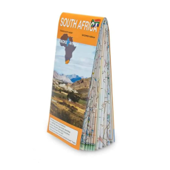


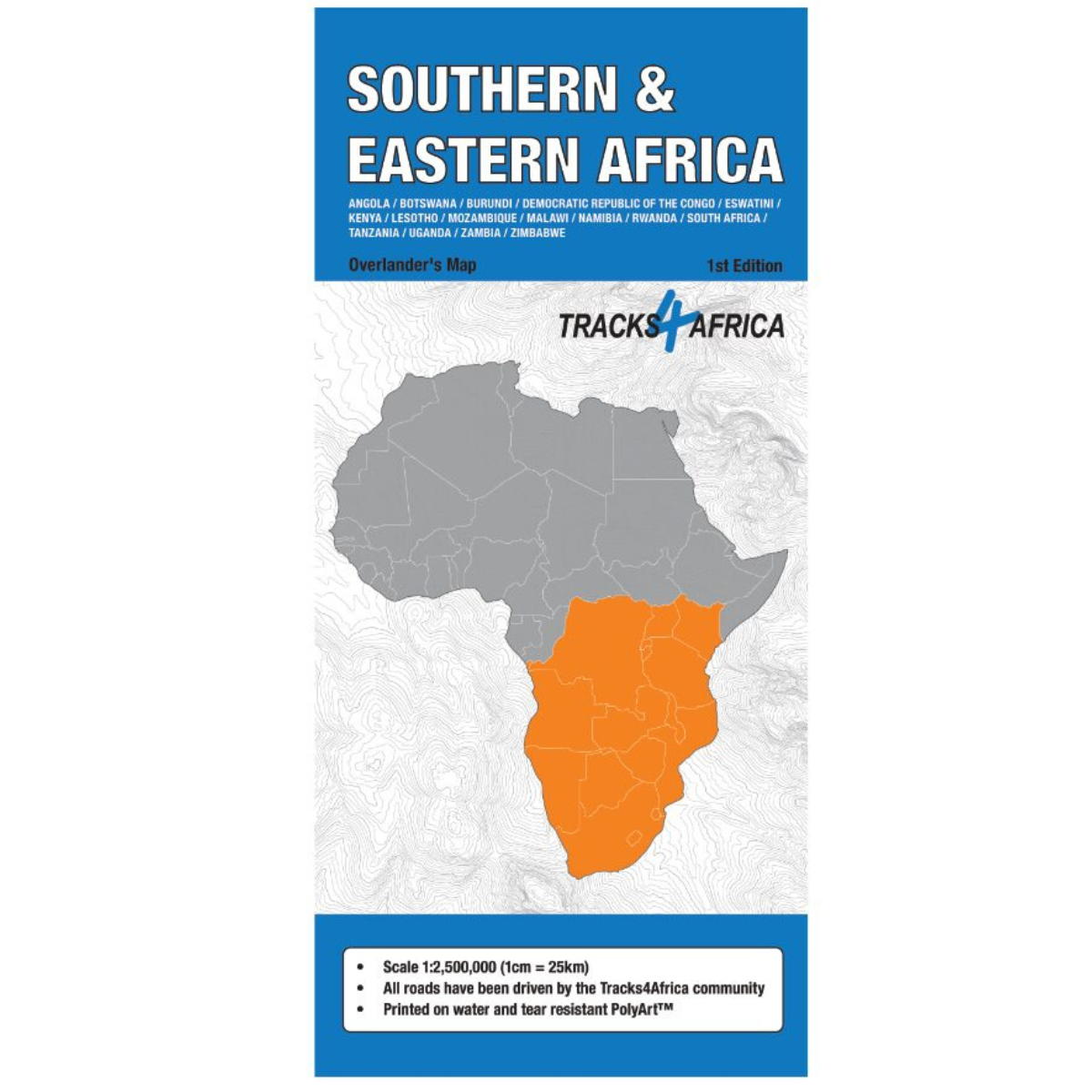

Tracks 4 Africa Southern & Eastern Africa Paper Map 1st Edition
R425.00
Travelers Paper Map
 Pay over 3 EQUAL zero-interest instalments of R141.67 with PayJustNow.
Find out how...

HOW IT WORKS
PayJustNow allows you to pay for your purchase over 3 payments with 0% interest and no fees. Pay a third at checkout and receive your goods immediately. The remaining two instalments are debited on your selected instalment dates.

Browse online or in-store and proceed to checkout

Choose PayJustNow as your payment method

Create your account and receive an instant approval decision

Complete your transaction
WHAT YOU WILL NEED

Be over 18 years old
Be a South African resident
Have a debit or credit card
Have a valid email address
0% INTEREST. 3 PAYMENTS. NO STRESS.
WHY PAY ANY OTHER WAY?

Description
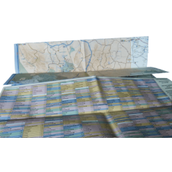
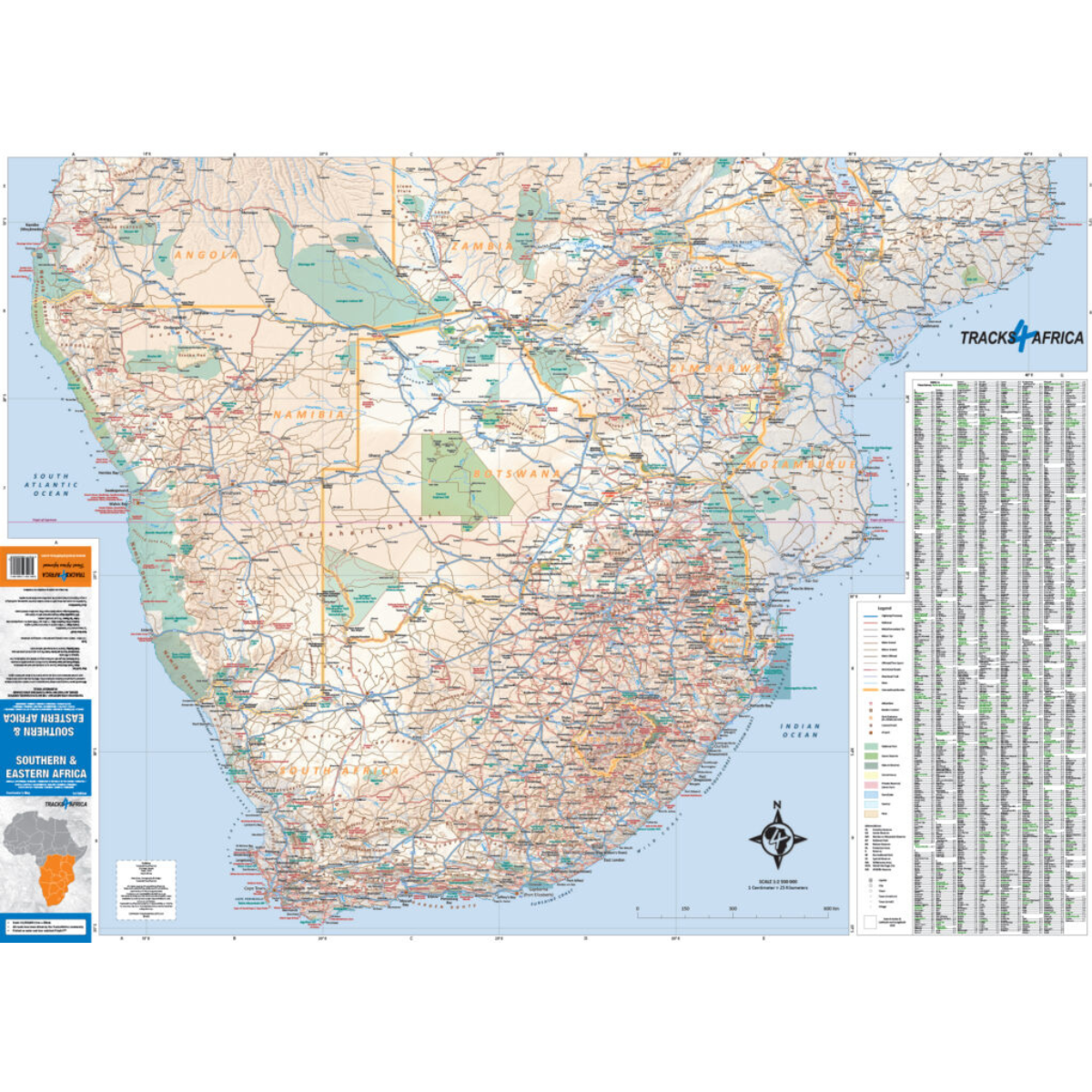
The Tracks4Africa Southern & Eastern Africa Overlander’s Map (1st Edition) is designed for adventurers exploring Africa’s rugged wilderness by vehicle. Covering 17 countries and backed by over 25 years of overlanding expertise, this detailed map highlights attractions, parks, road networks, and border crossings—perfect for planning extended journeys across Africa.
Features
-
Covers 17 countries across Southern, Eastern, and parts of Central Africa
-
Highlights major tourist attractions, national parks, and game reserves
-
Detailed road networks including tar, gravel, sand, and 4WD tracks
-
Relief shading to illustrate terrain and landscapes
-
Includes international airports and border posts for easy trip planning
-
Backed by 25+ years of mapping and overlanding experience
Specifications
-
Edition: 1st Edition
-
Scale: 1:2.5 million
-
Coverage: Angola, Botswana, Burundi, DRC, Eswatini, Kenya, Lesotho, Mozambique, Malawi, Namibia, Rwanda, South Africa, Tanzania, Uganda, Zambia, Zimbabwe