-
×
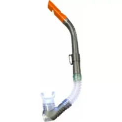 Aqualine Bermuda-S Snorkel
1 × R295.00
Aqualine Bermuda-S Snorkel
1 × R295.00 -
×
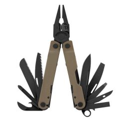 Leatherman Rebar Multitool Coyote Tan
1 × R2,589.00
Leatherman Rebar Multitool Coyote Tan
1 × R2,589.00 -
×
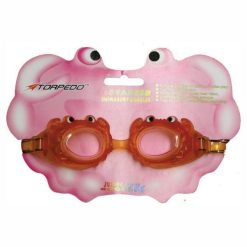 Aqualine Crazy Creatures Swim Goggles
2 × R89.00
Aqualine Crazy Creatures Swim Goggles
2 × R89.00 -
×
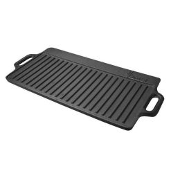 Afritrail Dual BBQ/Griddle Pan
3 × R479.00
Afritrail Dual BBQ/Griddle Pan
3 × R479.00 -
×
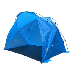 Afritrail Clifton Beach Shade
1 × R795.00
Afritrail Clifton Beach Shade
1 × R795.00 -
×
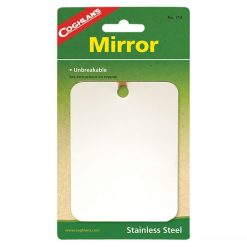 Coghlans Stainless Steel Mirror
1 × R85.00
Coghlans Stainless Steel Mirror
1 × R85.00 -
×
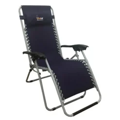 Afritrail Deluxe Lounger
1 × R1,695.00
Afritrail Deluxe Lounger
1 × R1,695.00 -
×
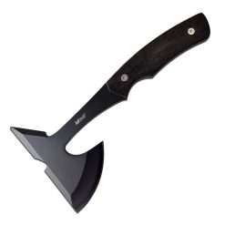 MTech Tinder Axe
1 × R485.00
MTech Tinder Axe
1 × R485.00 -
×
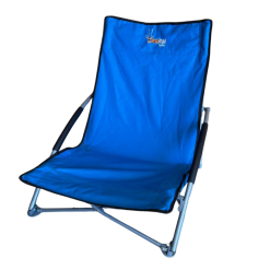 Afritrail Tern Beach Chair
1 × R559.00
Afritrail Tern Beach Chair
1 × R559.00 -
×
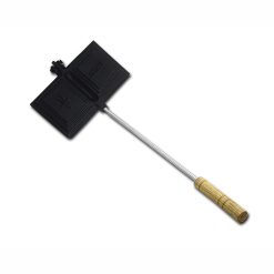 Afritrail Jaffle Iron Double Size
1 × R355.00
Afritrail Jaffle Iron Double Size
1 × R355.00 -
×
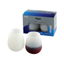 LeisureQuip Wine Glass Silicone No Stem 2pk
1 × R199.00
LeisureQuip Wine Glass Silicone No Stem 2pk
1 × R199.00 -
×
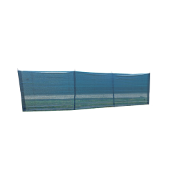 Tentco Shadenet Wind Break
1 × R895.00
Tentco Shadenet Wind Break
1 × R895.00 -
×
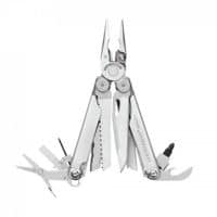
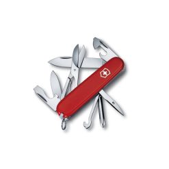 Victorinox Super Tinker 91mm
1 × R795.00
Victorinox Super Tinker 91mm
1 × R795.00 -
×
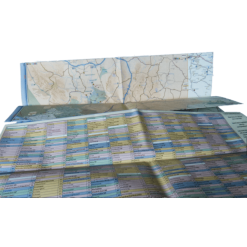
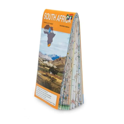 Tracks 4 Africa South Africa Traveller’s Paper Map 2nd Edition
1 × R395.00
Tracks 4 Africa South Africa Traveller’s Paper Map 2nd Edition
1 × R395.00


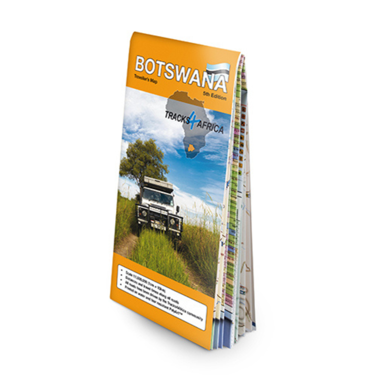
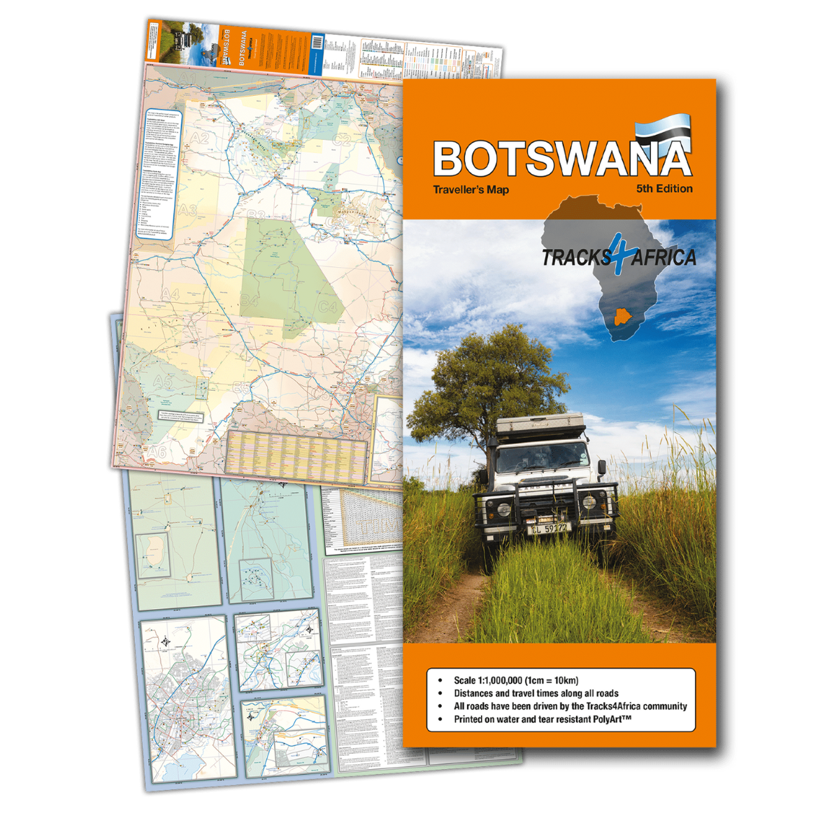
Tracks 4 Africa Botswana Traveller’s Paper Map 5th Edition
R395.00
Paper map offering travel time information for the entire road network, be it on tar, gravel or sand!
 Pay over 3 EQUAL zero-interest
instalments of R131.67 with PayJustNow.
Pay over 3 EQUAL zero-interest
instalments of R131.67 with PayJustNow.
Find out how...

HOW IT WORKS
PayJustNow allows you to pay for your purchase over 3 payments with 0% interest and no fees. Pay a third at checkout and you get your goods as if you have paid in full. The remaining two instalments are debited on your specified instalment date.

Browse online or in-store and proceed to check-out

Choose PayJustNow as your payment method
Create your account and get an instant approval decision
Complete your transaction
WHAT YOU WILL NEED

BE OVER 18
YEARS OLD
BE AN SA
RESIDENT
HAVE A DEBIT OR
CREDIT CARD
HAVE A VALID
EMAIL ADDRESS
0% INTEREST. 3 PAYMENTS. NO STRESS.
WHY PAY ANY OTHER WAY?

Description
The Tracks4Africa Botswana paper map, now in its 5th edition, is the perfect tool for planning your next Botswana adventure. Designed for use alongside the T4A GPS Map of Botswana, this map offers comprehensive coverage at a 1:1,000,000 scale, including travel times for all road types: tar, gravel, and sand.
Features:
- Printed on tear-proof and water-resistant Polyart material for durability.
- Scale: 1:1,000,000 (1cm = 10km).
- Unfolded size: 1000 x 1265mm.
- Includes travel time information for all roads, ensuring accurate journey planning.
- Detailed vector maps of key regions like Okavango Delta, Mabuasehube, and Savuti.
- Travel info including border post details, camping etiquette, fuel stops, and more.
- Distances and travel times between towns clearly indicated.
- Icons for main services in towns and border control information with operating hours.
- Maps of key towns like Gaborone, Maun, Kasane, and Khwai East/West.
Specifications:
Scale: 1:1,000,000
Unfolded size: 1000 x 1265mm
Printed on Polyart for durability