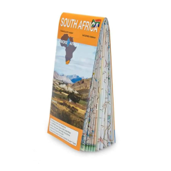


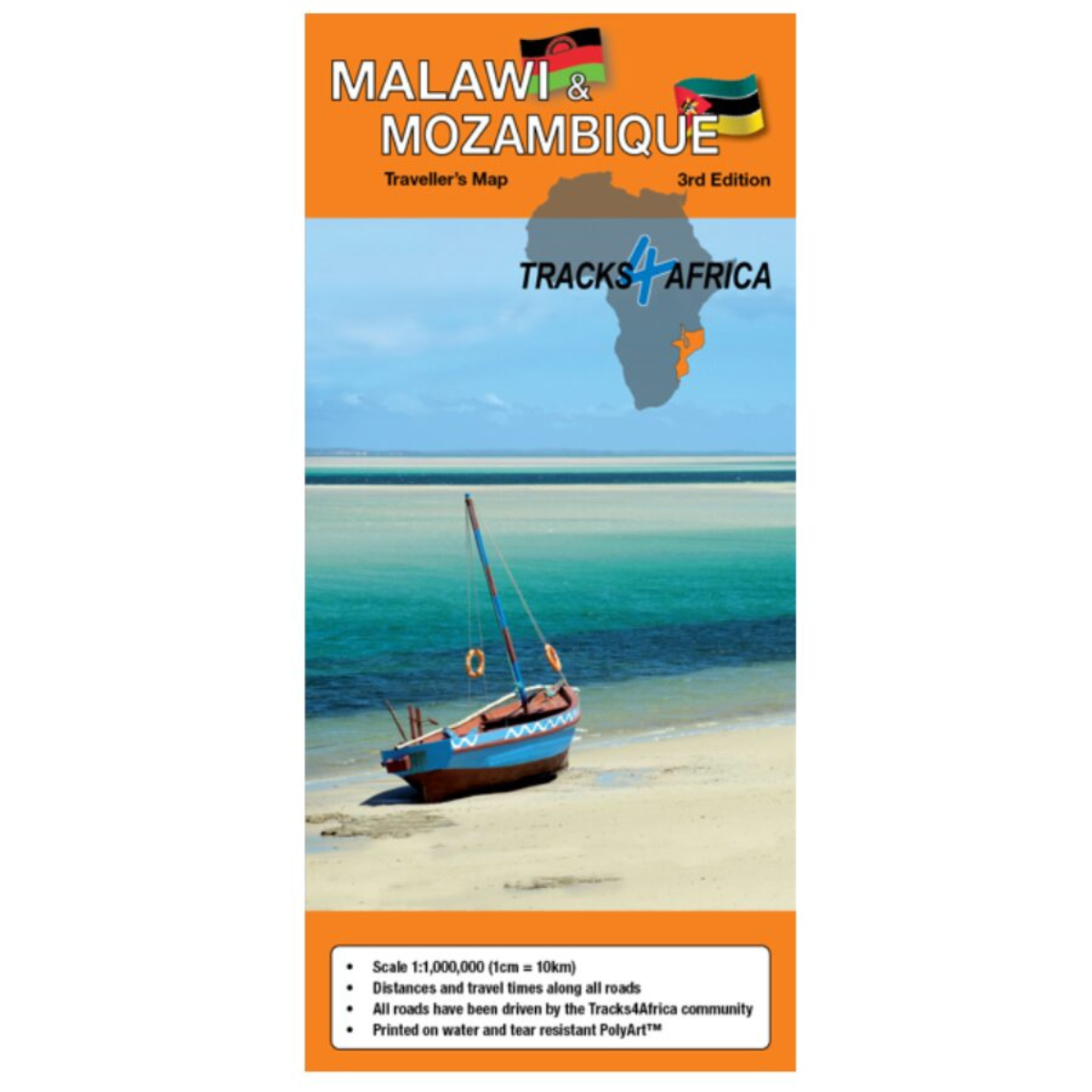
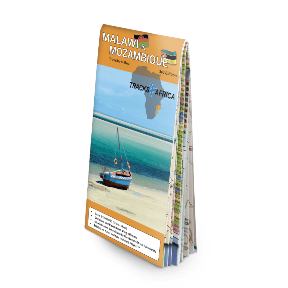
Tracks4Africa Mozambique & Malawi Traveler’s Paper Map 3rd Edition
R395.00
Travelers Paper Map
 Pay over 3 EQUAL zero-interest instalments of R131.67 with PayJustNow.
Find out how...

HOW IT WORKS
PayJustNow allows you to pay for your purchase over 3 payments with 0% interest and no fees. Pay a third at checkout and receive your goods immediately. The remaining two instalments are debited on your selected instalment dates.

Browse online or in-store and proceed to checkout

Choose PayJustNow as your payment method

Create your account and receive an instant approval decision

Complete your transaction
WHAT YOU WILL NEED

Be over 18 years old
Be a South African resident
Have a debit or credit card
Have a valid email address
0% INTEREST. 3 PAYMENTS. NO STRESS.
WHY PAY ANY OTHER WAY?

Description
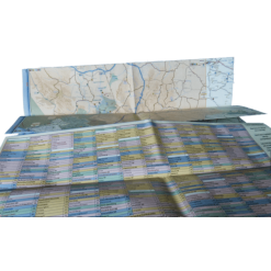
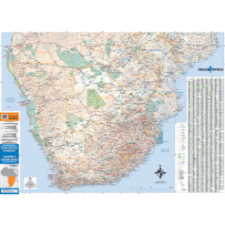
The Tracks4Africa Mozambique & Malawi Traveler’s Paper Map (3rd Edition) is the most comprehensive map available of these two countries. With a detailed scale of 1:1,000,000, it’s the ultimate tool for trip planning—backed by over a decade of verified travel data from the T4A community. Durable, water-resistant, and packed with travel times, services, and points of interest, it’s perfect for overlanders and holidaymakers alike.
Features
-
Comprehensive coverage of Mozambique and Malawi
-
Printed on tear-proof, water-resistant Polyart material
-
Includes distances and travel times between towns
-
Roads verified and GPS-recorded by the Tracks4Africa travel community
-
Border posts with opening and closing times
-
Icons for main services in towns (fuel, medical, etc.)
-
Locations of campsites, lodges, and attractions clearly marked
-
Map key and index for quick reference
-
Designed to complement T4A GPS Maps for seamless navigation
Specifications
Edition: 3rd Edition
Scale: 1:1,000,000 (1 cm = 10 km)
Map Size (unfolded): 1000 x 1265 mm (11 folds)
Coverage: Mozambique and Malawi